|
|
Help |
| Home - Basic M - Maryland Maps Geography (Books) | |
e99 Online Shopping Mall
|
|
Help |
| Home - Basic M - Maryland Maps Geography (Books) | |
| 1-5 of 5 |
click price to see details click image to enlarge click link to go to the store
|
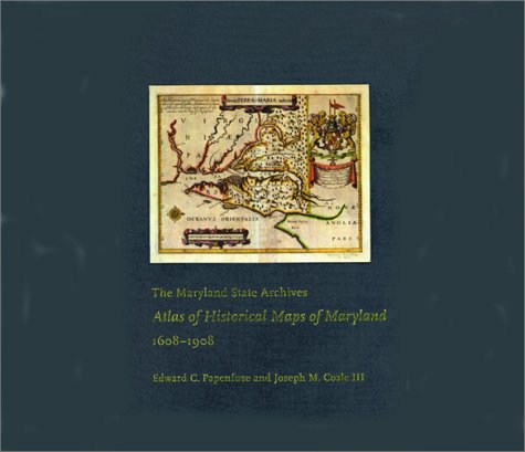
| 1. The Maryland State Archives Atlas of Historical Maps of Maryland, 1608-1908 by Edward C. Papenfuse, Joseph M. Coale III | |
 | Hardcover: 240
Pages
(2003-05-20)
list price: US$76.00 -- used & new: US$38.76 (price subject to change: see help) Asin: 0801872359 Canada | United Kingdom | Germany | France | Japan |
|
Editorial Review Product Description In The Maryland State Archives Atlas of Historical Maps of Maryland, 1608–1908, Edward C. Papenfuse and Joseph M. Coale III bring together in one volume the results of theseremarkable efforts, from Captain John Smith's 1608 detailed sketch of the region to the mapresulting from the Supreme Court's determination of the state's western border in 1908. Utilizingthe latest digital imaging and printing technology, the Atlas contains stunning, full-colorreproductions of more than 250 of the most significant historical maps from stateand federalarchives. This handsome and informative collection--a thoroughly updated and greatly expandedversion of the authors' landmark book, The Hammond-Harwood House Atlas of HistoricalMaps of Maryland (1982)--provides an in-depth history of mapmaking in Maryland andcharts the state's early settlement patterns. | |
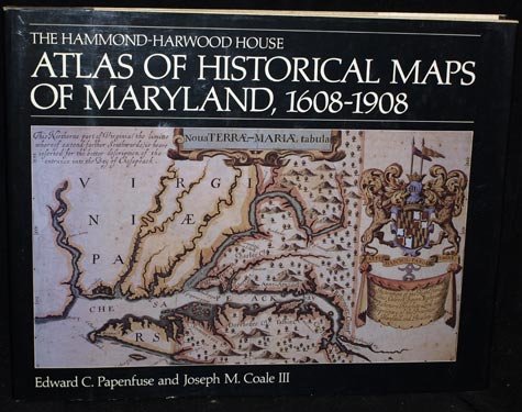
| 2. The Hammond-Harwood House Atlas of Historical Maps of Maryland, 1608-1908 by Professor Edward C. Papenfuse PhD | |
 | Hardcover: 136
Pages
(1982-11-01)
list price: US$47.50 -- used & new: US$52.49 (price subject to change: see help) Asin: 0801828848 Canada | United Kingdom | Germany | France | Japan |
| 3. Atlas of Historical County Boundaries: Delaware, Maryland, and the District of Columbia | |
| Hardcover: 154
Pages
(1996-08)
list price: US$140.00 Isbn: 013366337X Average Customer Review: Canada | United Kingdom | Germany | France | Japan | |
Customer Reviews (1)
| |
| 4. ATLAS, DESIGNED TO ILLUSTRATE THE MALTE-BRUN SCHOOL GEOGRAPHYCONTAINING THE FOLLOWING TWENTY-ONE MAPS, CHARTS AND TABLES: 1. NEW ENGLAND STATES - 2. MIDDLE STATES, MARYLAND, AND VIRGINIA - 3. SOUTHERN STATES - 4. WESTERN STATES - 5. UNITED STATES - 6. NORTH AMERICA, ETC...ETC... by F.J. HUNTINGTON & CO. | |
| Paperback:
Pages
(1837)
Asin: B001G4AC0C Canada | United Kingdom | Germany | France | Japan | |
| 5. Problems in developing graphics for the blind by Joseph W Wiedel | |
| Unknown Binding: 8
Pages
(1965)
Asin: B0007HV9WO Canada | United Kingdom | Germany | France | Japan | |
| 1-5 of 5 |